National Park Overcrowding Solutions: How to Protect Nature While Managing Visitor Demand
Parks from Zion to Acadia are experiencing record congestion. The U.S. National Park Service (NPS) reported more than 300 million annual recreation visits in recent years, with several flagship parks recording all‑time highs. That surge concentrates on a handful of roads, trailheads, and scenic overlooks—straining infrastructure, degrading habitat, and frustrating visitors. This guide lays out national park overcrowding solutions that parks are using now—timed entry, reservation permits, shuttle systems, visitor caps, dynamic pricing—and the infrastructure and operations that make them work while protecting wildlife and landscapes.
By the numbers
- 300+ million: Annual recreation visits across the U.S. National Park System in recent years (NPS Public Use Statistics)
- 12–15 million: Annual visits at Great Smoky Mountains National Park, the most‑visited U.S. park (NPS)
- ~5 million: Annual visits at Zion National Park since 2021; the main canyon is shuttle‑only in peak season (NPS)
$20 billion: NPS deferred maintenance and repair backlog, a key constraint on expanding parking, trails, and sanitation (NPS Asset Management)
- 60–90%: Share of daily visits often concentrated in 4–6 peak hours at popular sites, driving parking and trail bottlenecks (NPS and park pilot evaluations)
Why national park overcrowding happens
Overcrowding is a systems problem—demand spikes collide with fixed, often aging infrastructure and sensitive habitats that cannot be widened or paved without harm.
Managing Outdoor Recreation: Case Studies in the National Parks
Amazon.com: Managing Outdoor Recreation: Case Studies in the National Parks: 9781786391018: Manning, Robert, Anderson, Laura E, Pettengill, Peter: Books
Check Price on Amazon- Peak seasons and peak hours. Vacation calendars, school holidays, and fair‑weather windows compress demand into late mornings and early afternoons in spring–fall. Even if total daily capacity is adequate, peak‑hour demand can exceed it by 2–3×.
- Social media‑driven visitation. Geotagged posts accelerate discovery of photogenic spots. Multiple studies using Flickr, Instagram, and mobile data (e.g., Tenkanen et al., 2017–2019; IUCN tourism guidance) show social media can predict and amplify spikes at specific overlooks and trails.
- Limited infrastructure and access bottlenecks. Many iconic attractions are served by a single entrance road, small historic parking lots, and narrow trails. Once a lot is full, backups cascade miles down-canyon.
- Underinvestment. NPS faces a deferred maintenance backlog exceeding $20 billion. The Great American Outdoors Act is chipping away, but sanitation, transit, and wayfinding upgrades lag demand growth.
- Accessibility and cost signals. Free or low‑cost entry (e.g., Great Smoky) and short travel distances from booming metro areas funnel disproportionate traffic to a few parks.
A useful planning concept is capacity factor for infrastructure—the percentage of time a facility (e.g., a parking lot) operates at or above its practical capacity. When capacity factor approaches 100% on fair-weather weekends, even small shocks (a shuttle delay, a broken restroom) tip the system into failure.
National park overcrowding solutions: tools that work
Below are the core levers parks are deploying, often in combination. Each tool shifts the when, where, or how of visits to fit within ecological and operational limits.
1) Timed entry systems
- What it is: Visitors reserve a time window to enter a park or specific corridor. Caps are set by corridor capacity (parking, shuttles, trails) and ecological thresholds defined in a Visitor Use Management (VUM) plan.
- Evidence: Seasonal timed entry pilots at Arches, Rocky Mountain, and Glacier reduced peak‑hour queues, illegal roadside parking, and emergency closures, according to NPS evaluations. Visitor surveys reported higher satisfaction with crowding levels despite fewer spontaneous entries.
- Equity considerations: Hold back a same‑day/last‑minute quota, offer phone or in‑park kiosks for those without broadband, and coordinate with transit providers for walk‑up access.
2) Activity- or site-specific reservation permits
- What it is: Permits for high‑impact trails, roads, or summits (e.g., Angels Landing at Zion; Cadillac Summit Road at Acadia). Permits can be daily or hourly.
- Evidence: Concentrating management on the true pinch points often yields large returns. At Angels Landing, queuing and unsafe crowding on chains sections declined following permits, per park incident tracking.
- Equity considerations: Provide fee waivers for low‑income visitors, community group blocks, and non-digital issuance options.
3) Shuttle services and transit‑only corridors
- What it is: Dedicated bus fleets replace private cars in constrained corridors. Parking is shifted to gateway hubs.
- Evidence: Zion’s shuttle, operating since 2000, moves millions of riders each season and has become a model for reducing congestion, emissions, and wildlife–vehicle collisions. Similar systems at Yosemite Valley and Grand Canyon’s South Rim smooth peak loads and reduce vehicle miles traveled.
- Design tips: High frequency (every 5–10 minutes), real-time arrival info, bike racks, and queue management are essential to maintain visitor acceptance.
4) Visitor caps and dynamic quotas
- What it is: Hard caps on daily entries or corridor users; quotas may change with conditions (e.g., lower when heat, wildfire smoke, or sensitive wildlife activity increases stress).
- Evidence base: The Limits of Acceptable Change and Visitor Experience and Resource Protection frameworks, and the Interagency Visitor Use Management Council, support condition-based thresholds that tie visitor numbers to measurable ecological and experiential indicators.

Kestrel 5400 Heat Stress Tracker Pro with Link, Compass and Vane Mount, Orange
View on Amazon5) Dynamic pricing and demand shaping
- What it is: Pricing that varies by time of day/season to shift demand to shoulders, paired with free or low‑cost alternatives at off‑peak times.
- Where used: Variable parking or reservation fees are emerging at busy trailheads and scenic roads. Hawai‘i’s state-managed Hā‘ena on Kaua‘i combined daily caps, mandatory shuttles, and reservations with differential pricing for nonresidents, restoring fragile coastal ecosystems while maintaining access.
- Cautions: Pricing can exclude. Pair with fee-free windows, discounts for local and low‑income households, and robust transit.
6) Communications and social nudges
- What it is: Proactive alerts about crowding and alternatives via apps, websites, and gateway business partners. De-emphasize geotagging of sensitive sites while promoting leave‑no‑trace norms.
- Evidence: Behavioral “nudges” shift some visitors to early/late windows and secondary overlooks at minimal cost.
Infrastructure and operational moves that relieve pressure
Engineering and operations often decide whether policy tools deliver. The goal: spread use in space and time, harden what must bear traffic, and protect what cannot.
Disperse and right‑size parking
- Convert large single lots into smaller nodes near hardened trailheads to avoid roadside overflow into habitat.
- Use smart occupancy sensors to trigger “lot full” signage miles upstream and route drivers to alternates.
Build alternate access and loops
- Add trail spurs to secondary overlooks; convert crowded out‑and‑backs into one‑way loop trails to reduce two‑way conflicts.
- Create bike and pedestrian connections from gateway communities, with secure bike parking at major stops.
Harden high‑use surfaces and protect sensitive areas
- Boardwalks, stone steps, turnpikes, and drainage features reduce erosion and trail braiding.
- Seasonal area closures or wildlife buffers protect nesting, lambing, or denning sites, paired with alternative viewpoints.
Real-time crowd information and wayfinding
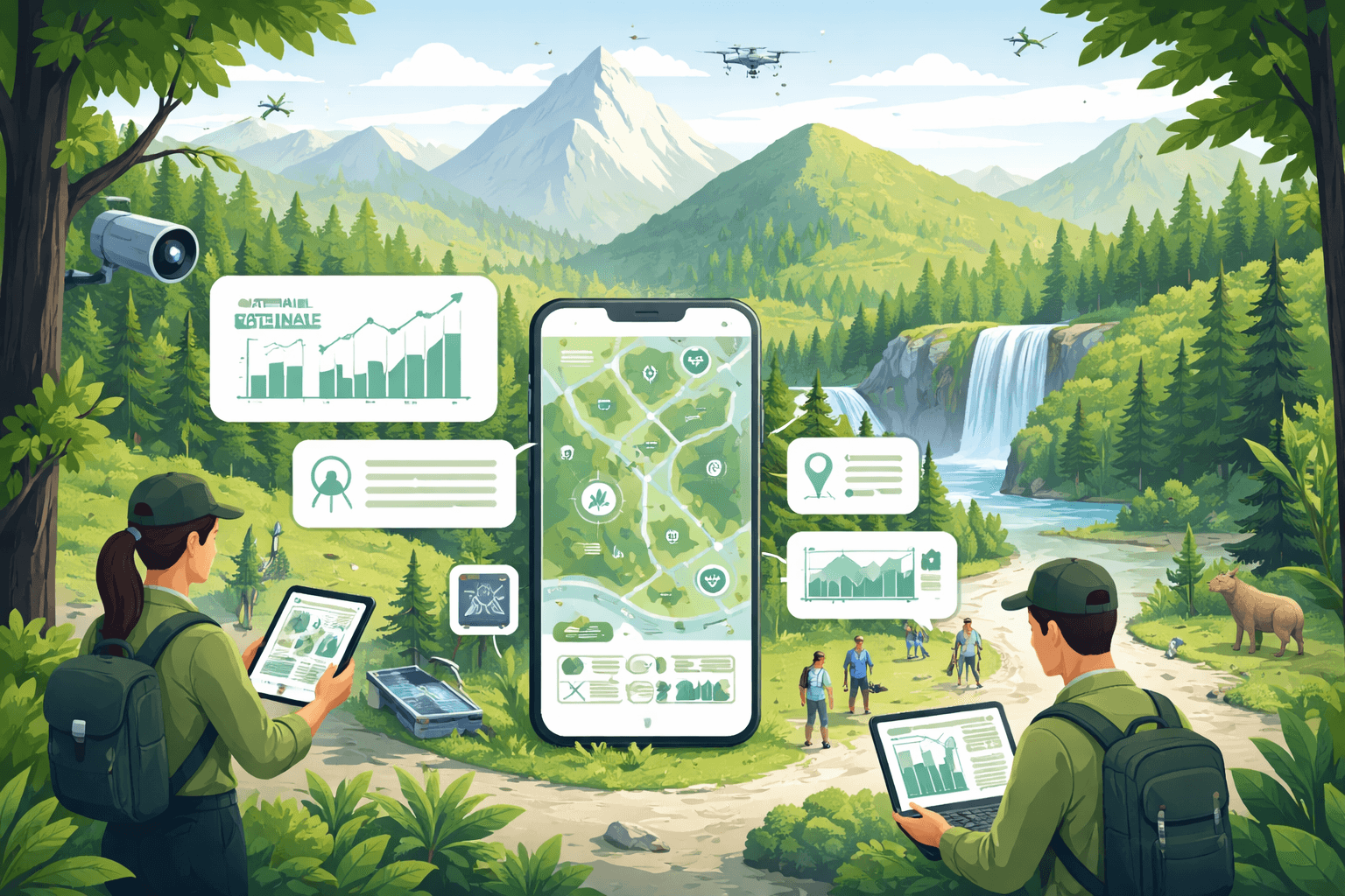
- Live displays of parking availability, shuttle headways, and trail density push visitors to underused areas before bottlenecks form. Sensors and privacy‑preserving mobility analytics can estimate crowding without tracking individuals.
- For the role of sensors and data platforms in conservation operations, see How Technology Aids Conservation: Sensors, AI, and Renewable Solutions (/sustainability-policy/how-technology-aids-conservation-sensors-ai-renewables).

EF ECOFLOW Portable Power Station DELTA 2, 1024Wh LiFePO4 (LFP) Battery, 1800W AC/100W USB-C Output, Solar Generator(Solar Panel Optional) for Home Backup Power, Camping & RVs : Patio, Lawn & Garden
View on AmazonSanitation and waste capacity
- Match restroom, water, and trash capacity to peak loads, not averages. Overflow waste correlates strongly with wildlife conflicts and water quality degradation.
Operations that scale to peaks
- Surge staffing for parking and crowd management on fair‑weather weekends; cross‑train rangers, volunteers, and concessioners.
- Incident command for daily peaks: clear roles for tow authority, message boards, and temporary closures keep small problems small.
For planning frameworks and long‑term stewardship practices that underpin these upgrades, see Land Conservation Best Practices: Planning, Protection, Stewardship, and Long‑Term Management (/conservation/land-conservation-best-practices-planning-protection-stewardship-long-term-management).
Conservation impacts: why crowding matters for wildlife, water, and safety
When demand overwhelms capacity, the costs extend far beyond long lines.
- Wildlife displacement and habituation. Frequent close encounters push sensitive species off feeding or breeding areas, while food‑conditioned wildlife face higher mortality. Reducing off‑trail travel and securing trash directly lowers conflict rates.
- Vegetation loss and soil erosion. Trail widening and social trails compact soils, reduce infiltration, and send sediment into streams—harming aquatic habitats.
- Water quality and sanitation. Overloaded restrooms, dispersed human waste, and litter elevate pathogen loads in surface waters near popular swimming holes.
- Safety and rescues. Overcrowding increases accidents on exposed routes and delays emergency response when roads are jammed. Parks report rising search‑and‑rescue incidents in their most congested corridors.
- Visitor experience. Crowding degrades the very values—solitude, scenery, wildlife viewing—that parks are mandated to protect.
The throughline: well‑designed national park overcrowding solutions protect habitat by keeping use within the ecological limits defined in a Visitor Use Management plan and by hardening only the places designed to carry traffic. For practical strategies that tie visitor management to biodiversity outcomes and monitoring, see Effective Wildlife Conservation Practices: Practical Strategies, Monitoring, and Community-Led Solutions (/sustainability-policy/effective-wildlife-conservation-practices-guide).
Case studies and lessons learned
Zion National Park (UT): Shuttle‑only canyon and trailhead queueing
- Intervention: Since 2000, Zion Canyon is closed to private vehicles in peak seasons; high‑frequency shuttles serve all major trailheads.
- Results: Traffic congestion and parking overflow fell dramatically; air quality and wildlife–vehicle collisions improved. Shuttle headways of 5–10 minutes are crucial to visitor acceptance.
- Lesson: Transit solves road and parking limits when topography forces a single corridor.
Arches National Park (UT): Seasonal timed entry to flatten the curve
- Intervention: A seasonal timed entry system (typically April–October) replaced unpredictable hours‑long entry queues and daylong road closures.
- Results: Fewer mid‑day closures, shorter waits, and reduced illegal parking observed during the pilot; most surveyed visitors reported improved crowding conditions (NPS evaluations).
- Lesson: Match quotas to corridor capacity and offer same‑day inventory for flexibility.
Acadia National Park (ME): Site‑specific reservations instead of park‑wide limits
- Intervention: A timed vehicle reservation for Cadillac Summit Road during peak hours, combined with shuttle options elsewhere on Mount Desert Island.
- Results: Congestion at the summit decreased while spontaneous access to the rest of the park remained possible; communications highlighting alternative sunrise spots helped distribute use.
- Lesson: Target the true pinch point; avoid system‑wide friction when only one site is overloaded.
Rocky Mountain National Park (CO): Corridor‑based quotas and dynamic windows
- Intervention: Timed entry with separate quotas for the Bear Lake Road corridor and the rest of the park, calibrated to parking and shuttle capacity.
- Results: Illegal parking and search‑and‑rescue conflicts declined during peak hours; visitor satisfaction with parking availability improved.
- Lesson: Corridor‑specific management acknowledges that not all areas have the same capacity or sensitivity.
Hā‘ena State Park (Kaua‘i, HI): Community‑led caps with shuttles and pricing
- Intervention: After flood recovery, the state instituted a daily cap, mandatory shuttles for most visitors, advanced reservations, and differential pricing for nonresidents.
- Results: Vegetation recovery, reduced roadside chaos, and improved resident quality of life were documented by the state; cultural access was preserved through local set‑asides.
- Lesson: Co‑management with communities can align visitor systems with cultural and ecological needs; caps must be enforced with real alternatives.
Banff National Park (AB, Canada): Shuttle‑only access to Moraine Lake
- Intervention: Private vehicles were prohibited on the Moraine Lake Road in 2023; visitors use shuttles, Roam Transit, or bikes.
- Results: Eliminated predawn parking stampedes and roadside hazards; strong early communication and abundant shuttle capacity were essential.
- Lesson: When parking geometry cannot meet demand without damage, go all‑in on transit and bikes.
For how community partnerships improve conservation outcomes and visitor stewardship, see Community Conservation 2023: Impact, Innovation, and Lessons for Scale (/conservation/community-conservation-2023-impact-innovation-lessons-scale).
Practical implications for managers, businesses, visitors, and policymakers
Park managers
- Develop a Visitor Use Management plan that defines desired conditions, indicators (e.g., people-at-one-time on viewpoints, bear jam frequency), and thresholds tied to quotas.
- Pilot, measure, adjust. Use randomized or rotating time windows to test elasticity of demand and equity impacts.
- Bake in equity: set aside no‑reservation quotas; offer phone/over‑the‑counter booking; waive fees for qualifying groups; coordinate with transit and disability access.
- Monitor wildlife and habitat indicators alongside queue lengths; quotas should move with ecological signals, not just parking counts.
Gateway communities and businesses
- Partner on shuttle hubs, wayfinding, and “crowd‑smart” trip planning. Incentivize early/late dining and rentals to support shoulder visitation.
- Train staff to direct guests to underused trails and off‑peak windows.
Visitors
- Travel smart: book timed entries early when needed; go early or late; consider transit and bikes; have Plan B/C destinations.
- Practice leave‑no‑trace, especially at crowded sites where cumulative impact is highest.
Policymakers and funders
- Invest in sanitation, shuttles, and digital infrastructure to right‑size capacity to peaks.
- Support research and data sharing on visitor flows, ecological thresholds, and equity impacts.
Where this is heading
Over the next five years, expect more parks to adopt hybrid systems: corridor‑specific timed entry in peak months; shuttle‑only access where geometry demands it; dynamic quotas that respond to heat, smoke, or wildlife activity; and communications that steer a share of visits to shoulder hours and secondary overlooks. Data from privacy‑preserving sensors and voluntary traveler apps will improve real‑time management. Crucially, success will be measured not only by shorter lines but by healthier wildlife populations, resilient trails and waters, and visitor experiences that reflect the mission of protected areas: conserving unimpaired resources for future generations. Done well, national park overcrowding solutions are conservation tools first—and traffic tools second.
Recommended Products
Managing Outdoor Recreation: Case Studies in the National Parks
Amazon.com: Managing Outdoor Recreation: Case Studies in the National Parks: 9781786391018: Manning, Robert, Anderson, Laura E, Pettengill, Peter: Books
Kestrel 5400 Heat Stress Tracker Pro with Link, Compass and Vane Mount, Orange
The Kestrel 5400 is <strong>a trusted and accurate handheld, portable, WBGT (Wet Bulb Globe Temperature) measurement tool and environmental data logger</strong>. No need for distilled water, bulky glo
EF ECOFLOW Portable Power Station DELTA 2, 1024Wh LiFePO4 (LFP) Battery, 1800W AC/100W USB-C Output, Solar Generator(Solar Panel Optional) for Home Backup Power, Camping & RVs : Patio, Lawn & Garden
Amazon.com : EF ECOFLOW Portable Power Station DELTA 2, <strong>1024Wh LiFePO4 (LFP) Battery, 1800W AC/100W USB-C Output, Solar Generator(Solar Panel Optional) for Home Backup Power, Camping & RVs
More in Conservation
- Create Wildlife Habitat: Practical Topics to Cover in a Step-by-Step Guide
- Beyond Intentions: A Data‑Driven Analysis of the Impact of Conservation Efforts
- Wildlife Conservation: Key Strategies, Threats, and How You Can Help
- How Conservation Changes Ecosystems: Mechanisms, Evidence, Measurement, and Policy Trade‑offs